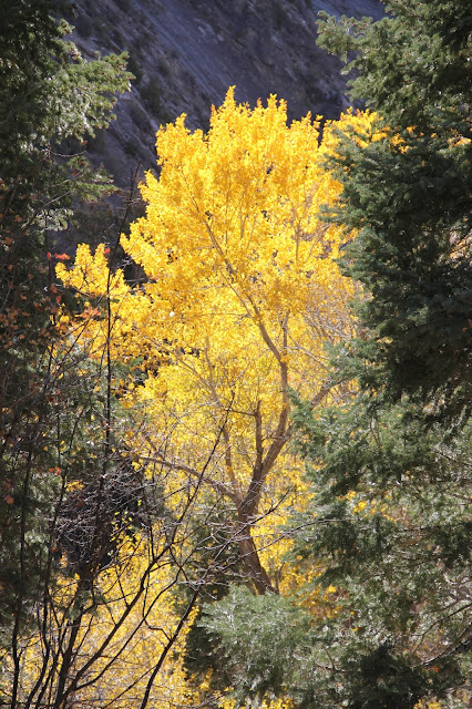
Morning sun on Squaw Peak
Saturday I hiked Squaw Peak (Renamed Kyhv Peak in 2022. Ute word for Mountain. Pronounced Kive). I'm surprised and a little embarrassed that in all of my years of living in Utah County, I have never done this hike. To be honest it wasn't even on my radar until this past summer. I have driven up the Squaw Peak Road many times to the Squaw Peak Overlook for its excellent view down on Squaw Peak and Utah Valley, but didn't realize that there was a trail up to the actual peak.

I first became aware of Squaw Peak in the fall of 1975 while learning Indonesia in the old LTM (Language Training Mission) in the now demolished Knight Mangum Hall on the the south edge of BYU campus. We lived further south in a old home turned missionary housing and as we walked in the early morning to begin our day at the LTM, Elder Mark Huggins and I both thought the early morning silhouette of the peak look like the muzzle of Snoopy sleeping atop his dog house.Recently there have been murmurings to change the name of the peak to something less degrading to Native American women. I propose Snoopy's Snout.
For one of our p-days the eight elders bound for Indonesia went for a hike part way up Rock Canyon. A few years ago I accompanied Young Men in our ward on a rock climbing outing at the mouth of the canyon.
The mouth of Rock Canyon.
The out and back trail is 7 miles long with a 2,739 foot gain in elevation.
Notice the flag flying on the summit. I didn't notice it when I took this photo.
Soon after my start, I ran into a colleague from BYU coming down the canyon from an early morning walk. She has recently returned from a year of teaching at the BYU Jerusalem Center so I asked her how her year was. She was happy to talk, especially to someone who could relate to what she had experienced. That stop set me back 45 minutes, but I was in no hurry.
First photo after making the northward turn off from the Rock Canyon Trail to the Squaw Peak Trail. This section was dirt track as opposed to rocky track. Rock canyon is a busy canyon full of rock climbers, bikers, hikers (many with dogs) and runners.
Looking east to Provo Peak
Curl leaf mountain mahogany
Northward to Mt Timpanogos
The Peak.
Provo and the BYU Campus.
Marriott Center, MTC and Edwards Football Staium
Provo Temple
Utah Lake and Northern Utah Valley
Rock Canyon and Provo Peak

Looking down in to Rock Canyon and the trail.
South end of Utah Valley with Mount Nebo in the distance.

After my bagel lunch I was joined on the summit by two pairs of hikers: two brothers, both with shaved heads and who both live in the neighborhood at the mouth of the canyon, and a father and his young adult son.
For about the last 14 years one of the Collins brothers (on the left), has erected a flag at the summit of Squaw Peak. Today was the day to retrieve the now tattered flag that has been waving in the wind all summer. Collins started with a small wood pole and has progressed to using a long, sturdy and heavy metal pole. With the help of his brother--holding a rope tied to the pole so it wouldn't fall off the cliff face when extracted, Collins and the son wrestled the pole out of its hole. Before the father and son had arrived, I had offered to help, but I'm glad someone else arrived to help out on the edge of the ledge. The rope holding Collins and I were both a little nervous about working so close to the edge.
Patriotic Collins told us that on several occasions people have cut down the flag--hence moving from a wood to heavy metal pole. He doesn't know the motive. He wondered if it was too much show of patriotism in a non-traditional setting or it it was deemed not respectful enough by flying the flag at night.
An amazing fault.
The actual hike took me about four hours, but I was on the trail longer given my conversations along the way.
Provo Temple with Snoopy's Snout rising above.


