The leaves were raked and the Christmas lights up so I decided to take a Saturday drive through some new territory and towns.
Took I-15 to Nephi and headed west to Leamington and then south to Oak City.
Oak City
Intermountain Power Plant
A barchan (crescent-shaped) dune.
A barricade of tumble weeds
For more on Delta, Topaz, Devil's Kitchen and the lava tubes of the Black Rock Desert see this family outing: http://beitemmett.blogspot.com/2017/10/topaz-and-black-rock.html
Main entry to Fort Deseret
Irrigation ditch in front of the fort. The whole Delta region in crisscrossed with irrigation canals with water from the Sevier River.
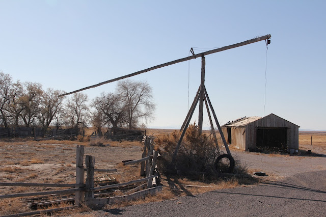
A few miles south of Fort Deseret I turned west on a dirt road headed to the Great Stone Face. Passed a nice example of a hay derrick.
15 minute hike up to the Great Stone Face.
Lot's of black basalt
From the south the stone didn't look like much.
It's as if you can see the various molten materials oozing into place.
Looking east towards Fillmore from the hill top.
From the northwest it kind of does look like the profile of Joseph Smith. Why hasn't this place become a place of pilgrimage and miracles?
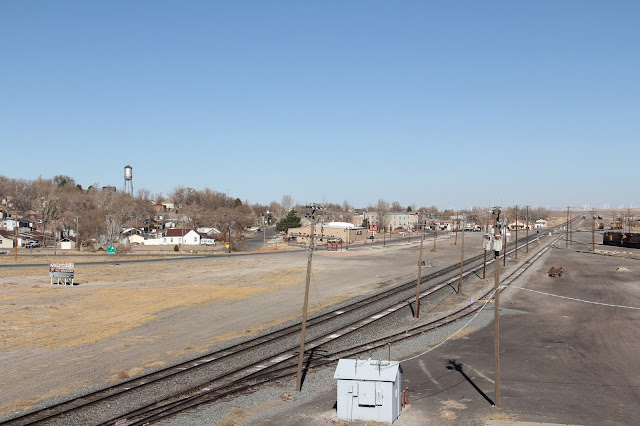
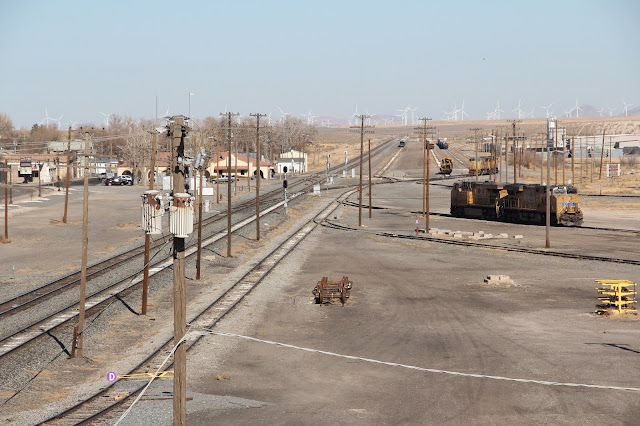
My drive south from Delta to Milford on Utah Route 257 paralleled two tracks of the Union Pacific.
Looking south at Clear Lake.
Looking north.
The one time RR town of Clear Lake included lots of Quakers.
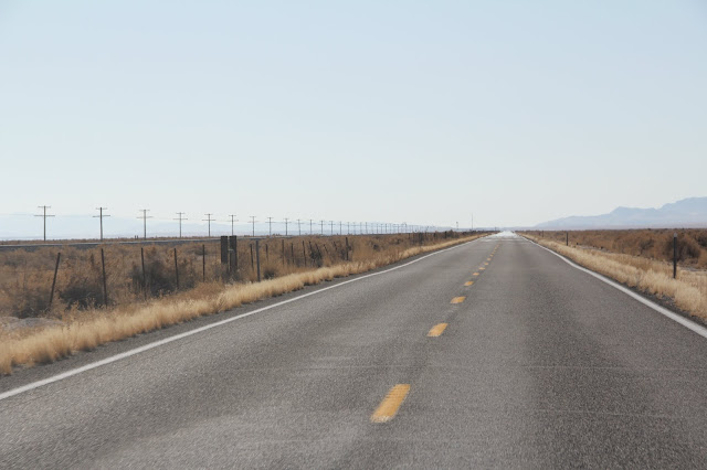
Driving south from the Clear Lake junction until I got to Parowan was all new road for me. From Deseret to Milford this was the general view--a power line, a RR track and a high way with lots of sage brush beyond that.
Sun and wind power just north of Milford.
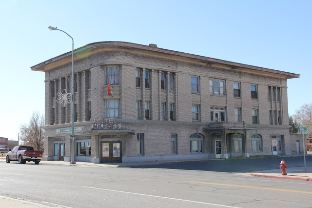
Heading south out of Milford.
The Parowan Gap. Sad to admit I'd never heard of it until I started to plan my route last night. A cool stop.
A few miles east of the petroglyphs there are dinosaur foot prints to see.









No comments:
Post a Comment