
Day two started out with a sleep in and then attending the 10:00 sacrament meeting of the Green River Ward--nice talks, patriotic songs, and more than a few cowboy boots and bolo ties. There were quite a few tourists visiting along with us. The member of the bishopric who was conducting jokingly said that they were planning to close the on-ramps to I-70 so that all the visitors would be forced to take up residence and bolster the membership of the smallish ward.


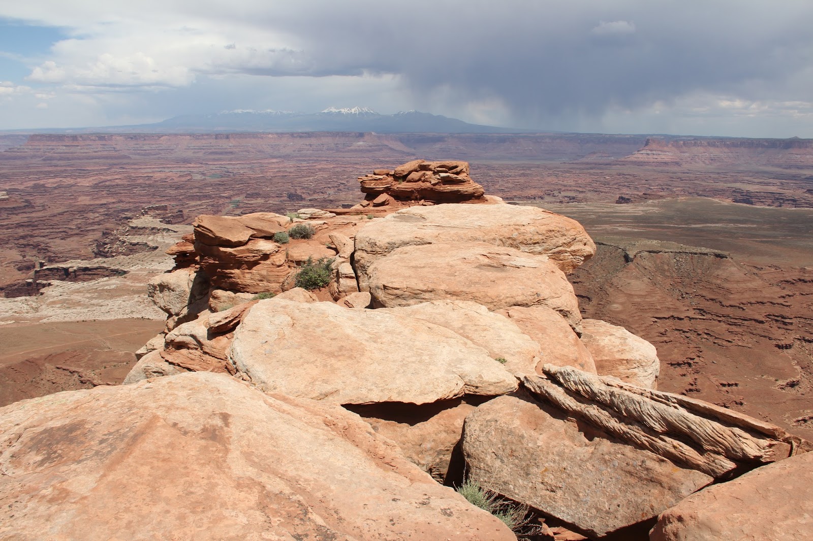
Our first stop was Canyonlands National Park. This was a first time visit for all of us to the northern section appropriately named Island in the Sky.

We started out with a nice hike out to White Rim overlook.


Impressively stack cairns marked the trail--Will added the last four stones to this one.

Next stop was the Grand View Point Overlook which looks southward--somewhere out there the Colorado River (coming from the left/east) and the Green River (from the right/north) merge.


Potash processing ponds.

The view south to the Colorado River.


For our final stop we decided to venture off road to Gemini Bridges.


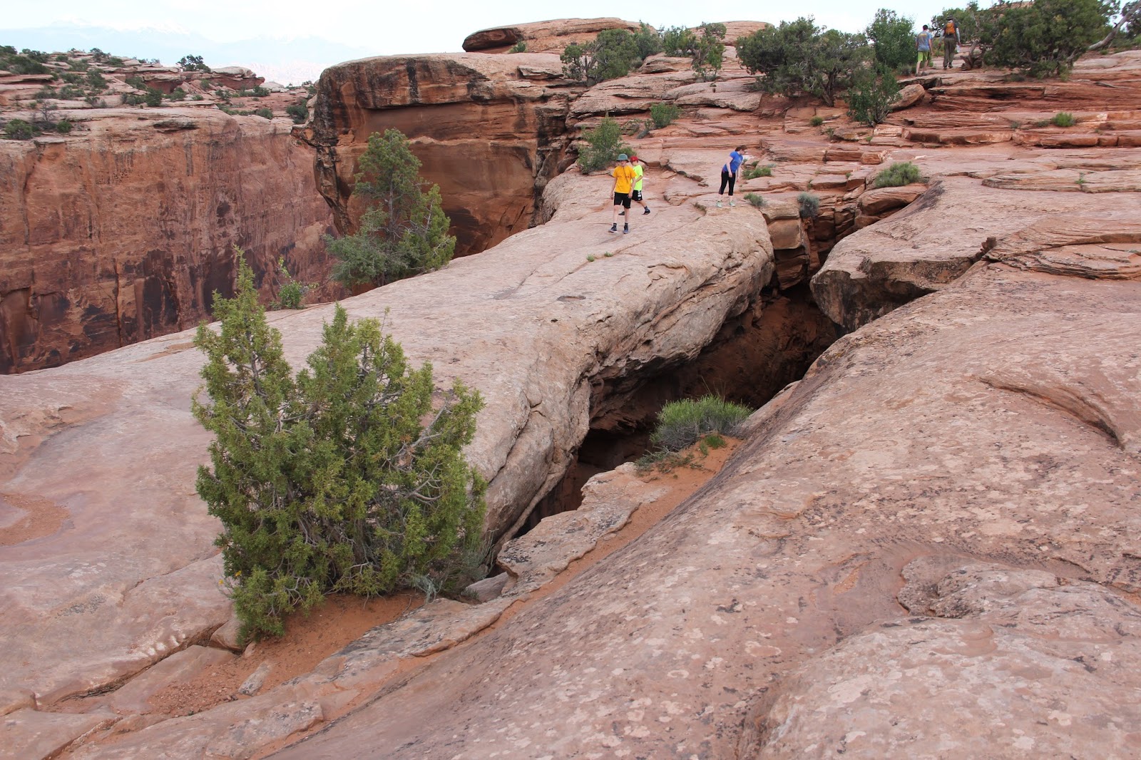


Marie's first time out on the bridge. This was not the first time she was heard to say: "O my goodness!" Nor was it the first time of the day she was worried or nervous.


I had read that the drive down to the bridges was passable, but then from there down to the main road it was a bit rough. I decided the Subaru was made for such a task so I made no mention of road quality. The description was accurate.


