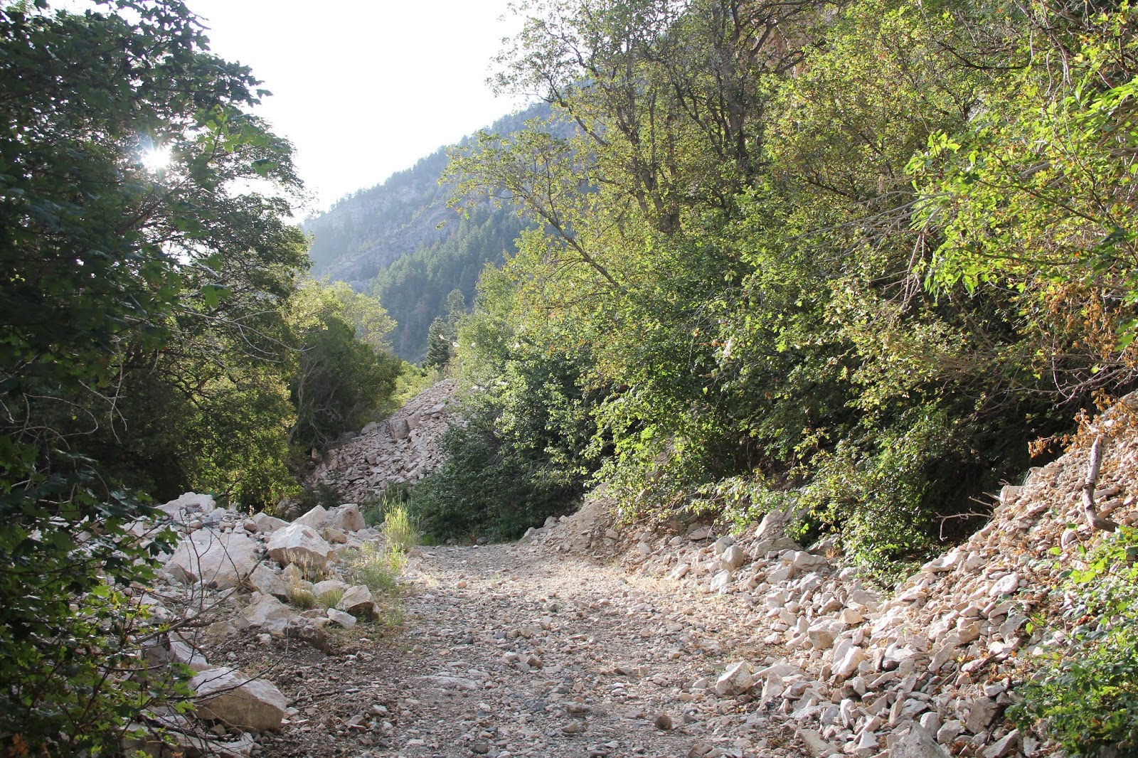
I started my hike of the Slate Canyon loop at 7:30 this morning. A few weeks ago the kids and I hiked the lower portion and I vowed I'd come back and do the more beautiful upper reaches. I didn't know how far I would go--up part way and back or the full loop. It all depended on how my knees held out.
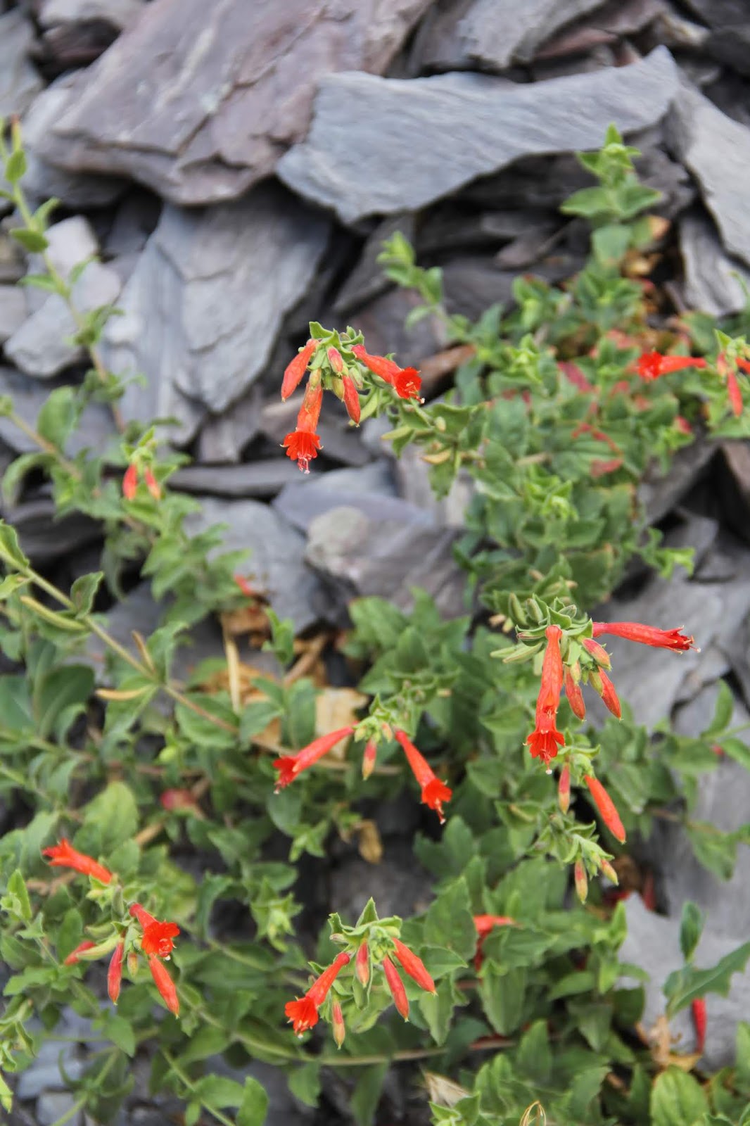
Love the purple and green slate.
I righted this beetle but it showed no ability to scamper away.
First sun on the north side of the canyon.
Defacing public lands is not my idea of Freedom or Liberty.
A perfect Christmas tree.
A few spinkles along the way.
There were old pipes visible along part of the trail, but it looks like water from springs in the upper canyon is now piped down the mountain underground. You could hear it flowing through this and other vents.
Glint of a single rain drop on the daisy.
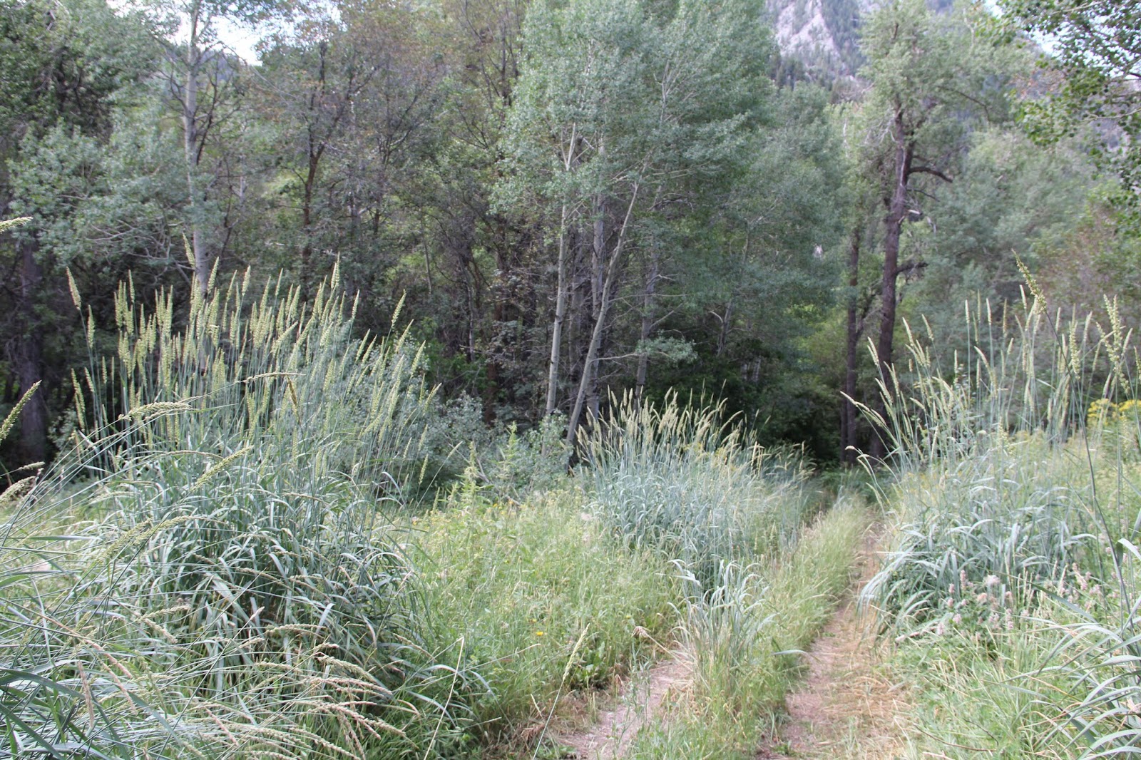
Grasses taller than me.
Covered springs where the canyon turns to the north.
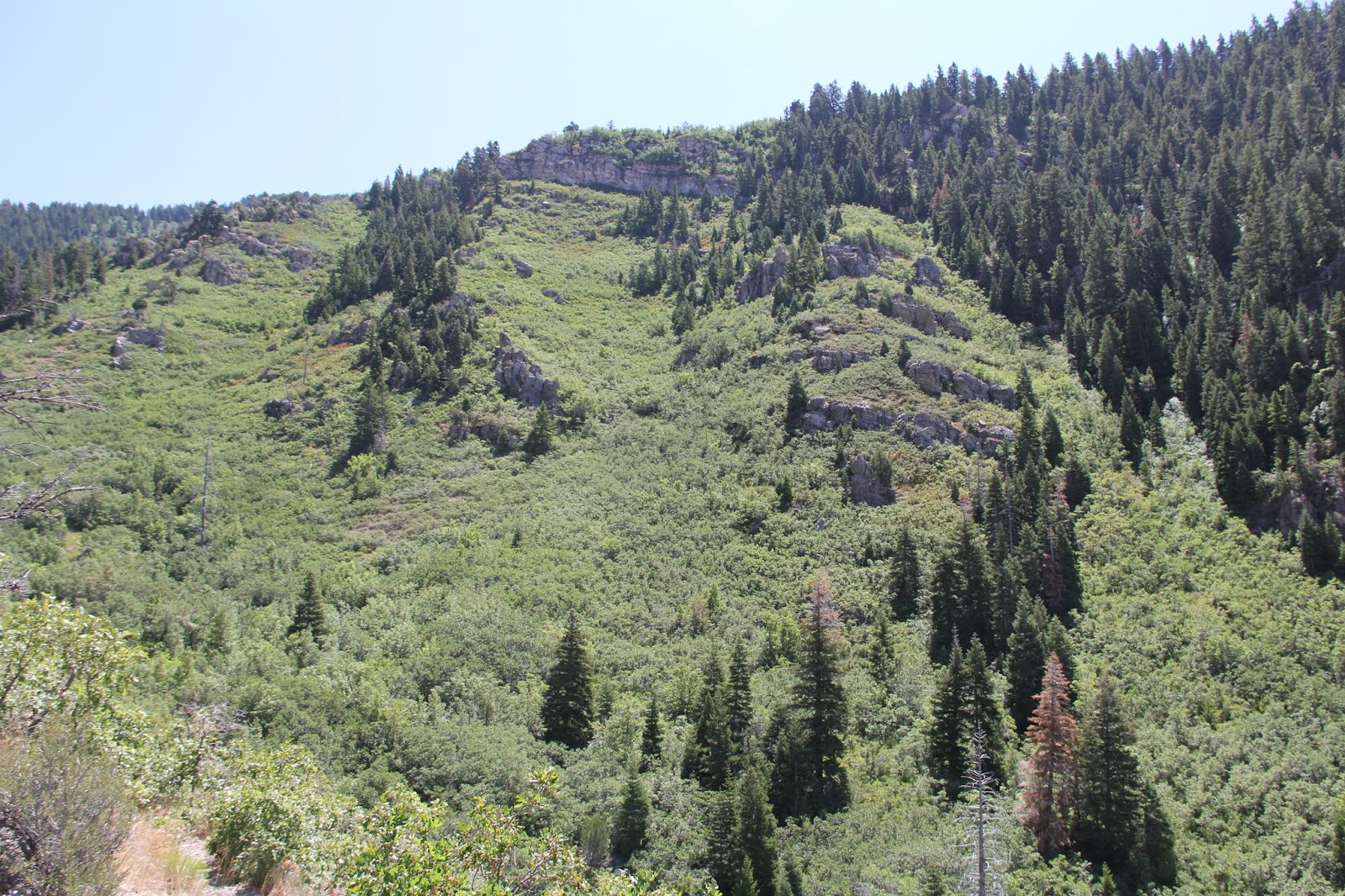
Upper Slate Canyon is full of lovely aspen groves.
Looking south. Slate Canyon curves to the right.
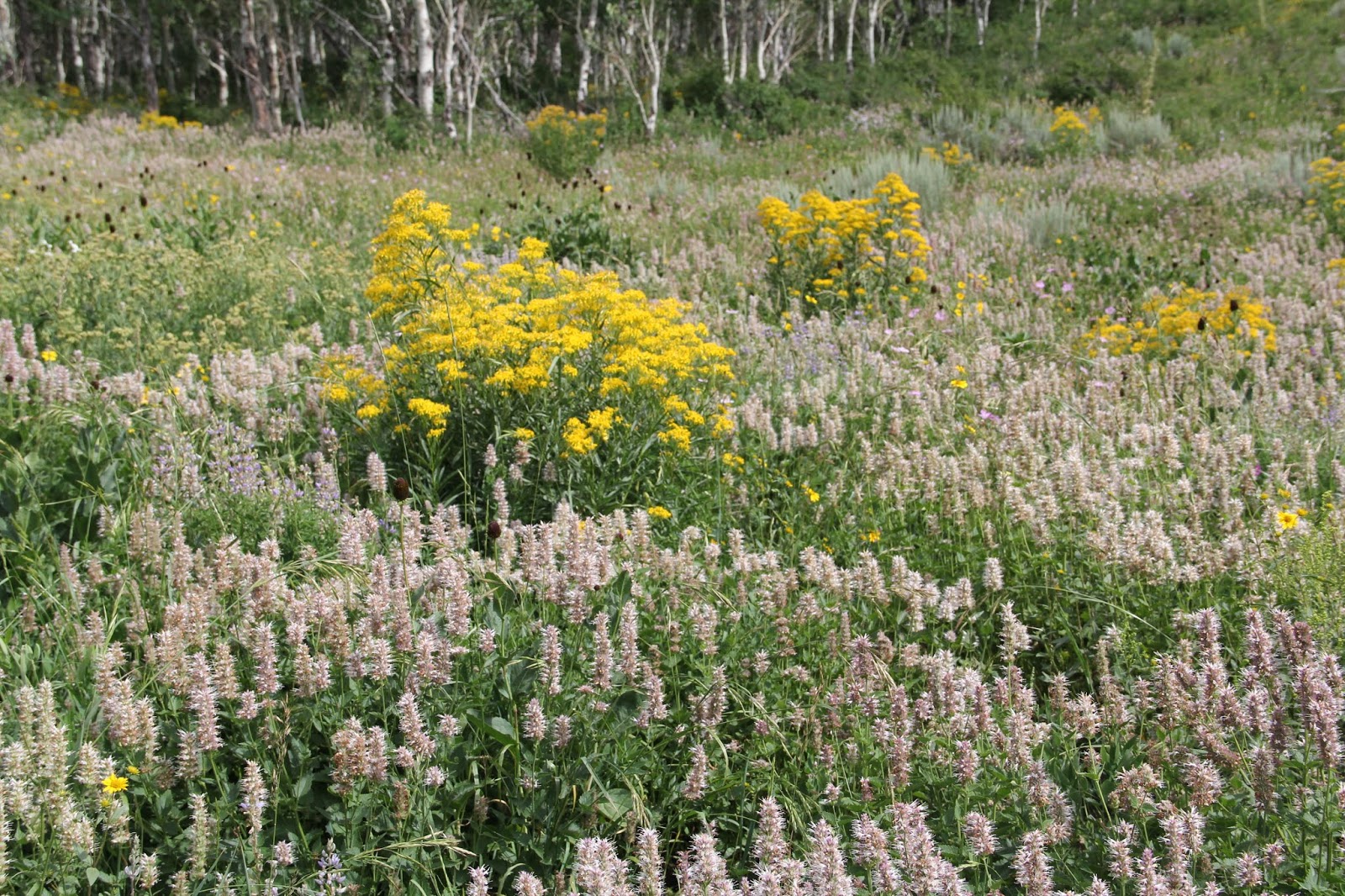
The meadows of flowers were fantastic.
Tenacious tree.
Canyon crest where Slate turns into Slide.
My legs wee feeling fine so on I went. It is all down hill (usually the painful part) from here.

Tipping trees.
The trail in upper Slide Canyon was often rendered invisible by the leaves of large overhanging plants.
Turn left to go west down the rest of Slide Canyon turn right to go north to Rock Canyon.
I used my walking stick for some bushwhacking.

Chest high leaves along parts of the trail.
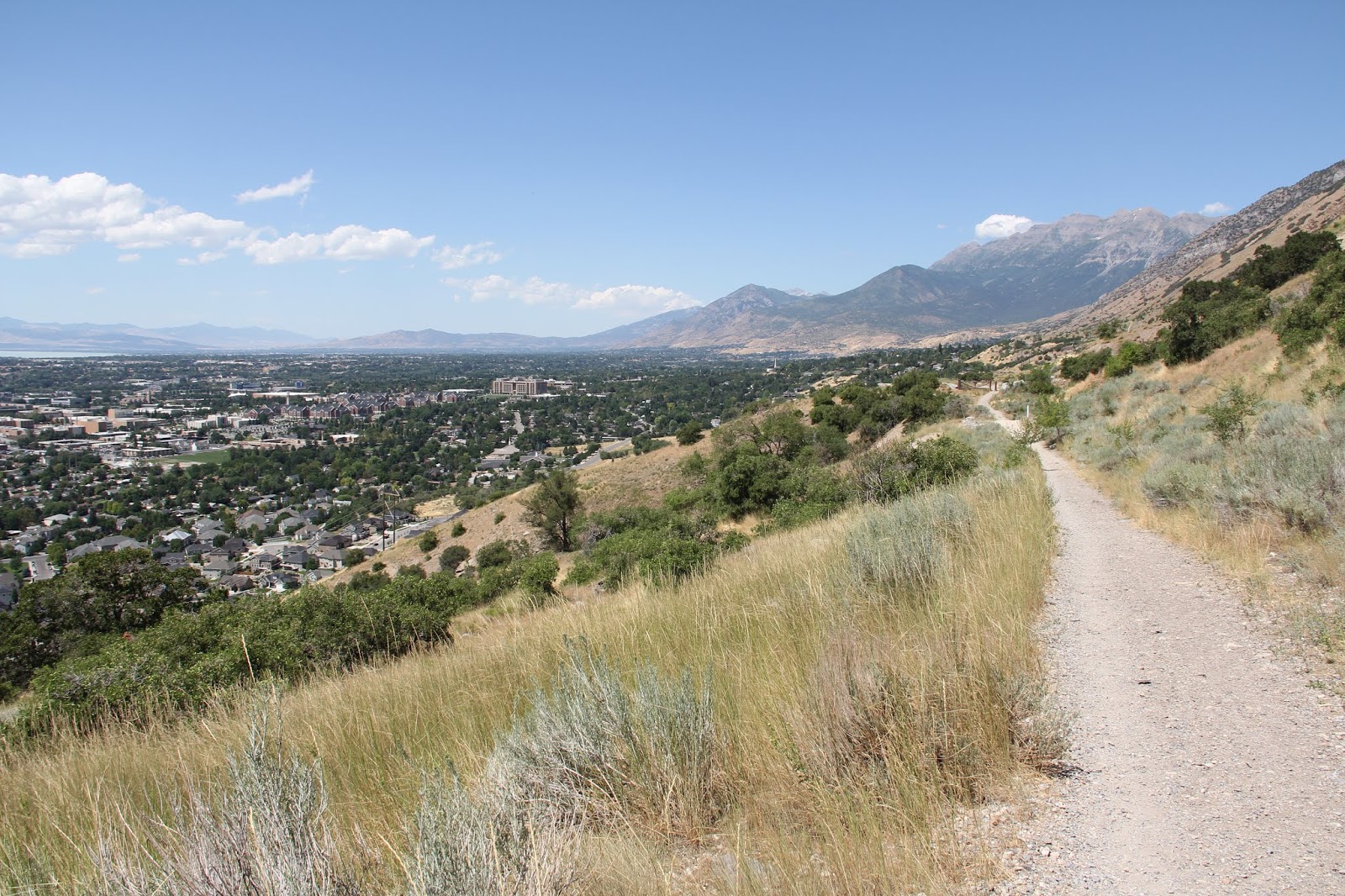
First view of Utah Valley.
Framed by scrub oak.
Downtown Provo.
Tall, but bent, scrub oak.
BYU Campus.
Where Slide Canyon peter's out into the open face of Y Mount.
Slide Canyon. It was now past noon and very hot on the open west face of the mountains.
The face of Y Mount rising about BYU. Looking north.
MTC (Mission Training Center). Plus the BYU laundry lower left where Sarah is working this summer.
Provo Temple.
Heritage Hall dorms.
BYU. My office is on the 6th floor of the tallest building.
Seven Peaks water park.

The white top of the Y.
Mt. Nebo at the south end of Utah Valley.

Looking south along the Bonneville Shore line trail.
http://www.bonnevilleshorelinetrail.org/geology/geology.html
This trail follows the western shore along the Wasatch Front of ancient Lake Bonneville which once filled all of Utah Valley. Utah Lake and Great Salt Lake are all that remain of that large lake.
Source:
https://newsletter.lib.utah.edu/visualizing-extent-prehistoric-lake-bonneville/
Looking up to where Slide Canyon meets the right flank of Y Mount. The first two of the thirteen switch backs of the Y trail cuts across the lower mountain.
Bonneville Shoreline trail. My knees started to give me problems coming down lower Slide Canyon and Y Mount but then did better on this flat last segment of the loop.
Burst milk weed pods. Always happy to see these in hopes that Monarch butterflies will use them to metamorphize.
Center Street leads from the State Mental Hospital complex at the foot of the mountains all the way west to Utah Lake.
The base of Slate Canyon with west Sprinville in the distance. The hike took me 7 1/2 hours--7:30-3:00. It was a slow descent.
From the Provo Cemetery. Slate Canyon on the right and Y Mount and the cleft of Slide Canyon on the far left. I hiked around the Mountain
Slate Canyon.
The Y (lower left) and Slide Canyon (top center).


Well done! What do you listen to while hiking?
ReplyDelete