
To celebrate the Labor Day weekend, we (excluding Will) thought a hike sounded fun. I initially thought we should try Spanish Fork Peak (Maple Mt,) or Mt. Nebo but after reading reviews on the very helpful alltrails.com web site: https://www.alltrails.com/trail/us/utah/mount-nebo-north-trail I decided we needed something more accommodating to our various hiking interests and abilities (ie easier and shorter). As I looked for shorter hikes in the area I happened upon nearby Powerhouse Mountain. https://www.alltrails.com/trail/us/utah/powerhouse-overlook. The mountain sits to the east of Springville. We see it every day, but seldom give it notice.


We set out at 8:30 driving east up Hobble Creek canyon, north up its left fork and then heading west up the Squaw Peak road.

Using these two photos on my phone of maps on the all trails web site we easily found our way.

I liked the look of the trail to the left and didn't even bother to see where the other trail head might be.

I was attracted to the fact that this trail head was ATV impregnable.

As the trail soon disappeared I realized that we were not on the trail to the top. But not wanting to backtrack I decide we would keep hiking until we merged with the main trail. Everyone agreed. In hind sight we are glad we took this "trail" less taken.

We bush-waked our way up through the lovely shaded pine forest. In the process our pants and socks became easy migration hosts for many types of pokey, clingy seeds.


Every once in a while we happened upon short lived deer trails that made our journey easier.
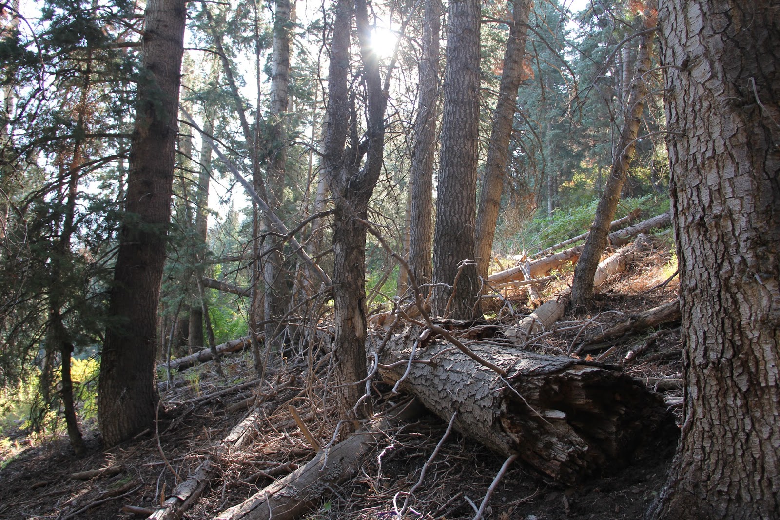

From a distance this looked like creative name carving, Turns out the cursive looking squiggles are beetle burrows.


Finally we emerge from the forested slope onto the rocky road the bring ATVs to the top.


Happy for the shade of these north facing slopes.


nearing the summit (7990 feet)

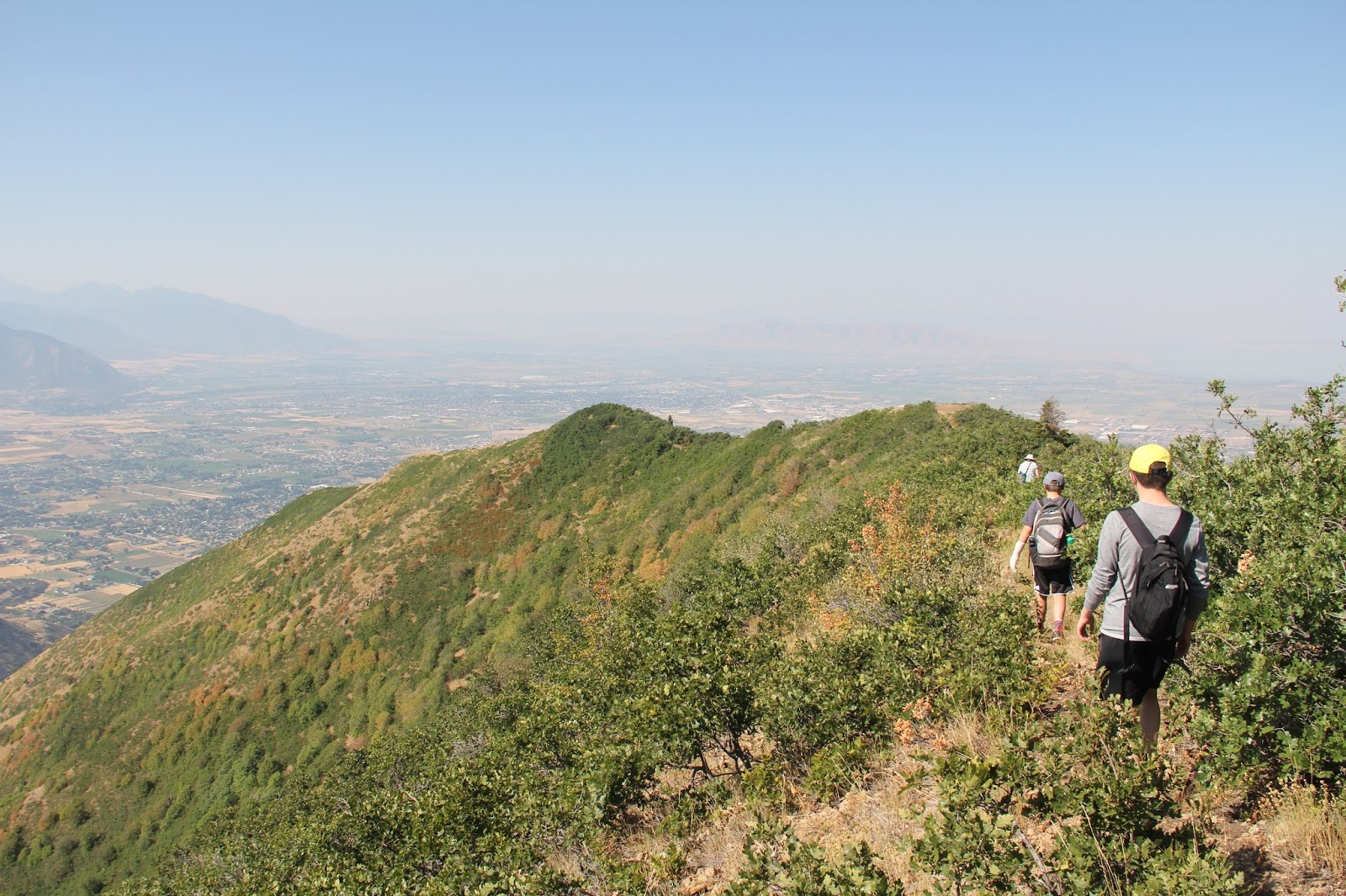
Looking south. Spanish Fork peak is the tallest mountain on the left and Mt. Nebo is the furthest peak on the right.

Mapleton to the left and Springville to the right.

Looking west. It was fun to find the High School (lower left) the old Jr. High (lower right) and follow 400 south out to I-15. Our neighborhood in northern Springville is cut from view from the mountain side on the right. West Mountain and the south end of Utah Lake are in the distance.


We followed the real trail the whole way down. It was steep and rocky much of the way. Don't think the Subaru could have made it.

No comments:
Post a Comment