
 Last Saturday I decided to do a mini road trip to towns, roads and regions of Utah I have yet to visit. My main objective was to drive I-70 from Salina to the Goblin Valley turnoff--the one section of Utah's interstate highways that I have never traversed. To do so I drove a big Triangle. I headed out at 7:15 driving south on I-15--with stops along the way at the never visited towns of Holden, Meadow, and Kanosh--to the western terminus of I-70 at Cove Fort. Then I headed east on I-70 with a side drive down Clear Creek Canyon Road (State Highway 4), a nice visit at the Fremont Indian Sate Park (a first for me), a visit to Monroe, lunch in Richfield, gas and Dr. Pepper in Salina, and then another side trip north to isolated Emery via Utah Highway 10 and back to the interstate along Miller Canyon Road (county road 912), and then across the San Rafael Swell (with three impressive rest stops offering great views and areas to explore) to the junction with Utah Highway 6 near Green River. From there I drove a familiar route northwestward along US 6 back home to Springville.
Holden is a well cared for town with lovely yards and old homes. It is just west of the Freeway but is hidden from view by low hills.


Paiute Reservation just north of Kanosh.


There were about a dozen homes along one road (lined by a few trees) on this small reservation, plus a community health center and a nice park.

I was interested to see the Paiute language in use.


The Tithing Office on Main Street.

Kanosh Mercantile. What can't be found here might be found up the road 15 miles in Fillmore. If it's a Walmart you need then your closest options are in Richfield 64 miles to the east, Cedar City 97 miles to the south or Payson 100 miles to the north.


Black Rock Volcano (from the south) hides seeing Kanosh from the freeway. For years I have wanted to get off the freeway and go see Kanosh. I finally did.

I-15 with Tabernacle Hill (center) and Tabernacle Crater (to the left of the domed hill) with a cinder cone core protruding up from the center of the crater. To read about our family's visit to that volcanic feature go to this blog post: http://beitemmett.blogspot.com/2017/10/topaz-and-black-rock.html


Newspaper Rock


Parade of Rock Art trail.


At Sheep Shelter the images of sheep are on the inside upper portion of the outside wall. Since grating has been put in place to prevent defacing and graffiti, a mirror has been installed so that visitors can sort of see the sheep.


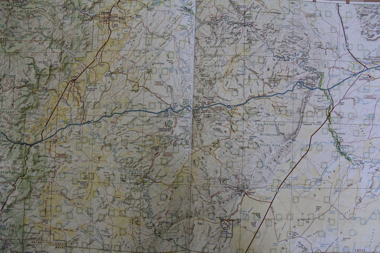
The road never traveled: I-70 (in blue) between Salina (left, off the map) and the road to Goblin Valley (right, red road heading south on the east side of the map).


Old and new church steeples.


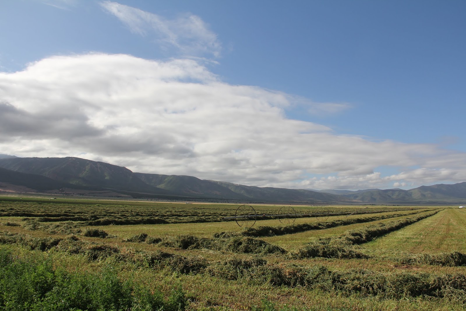
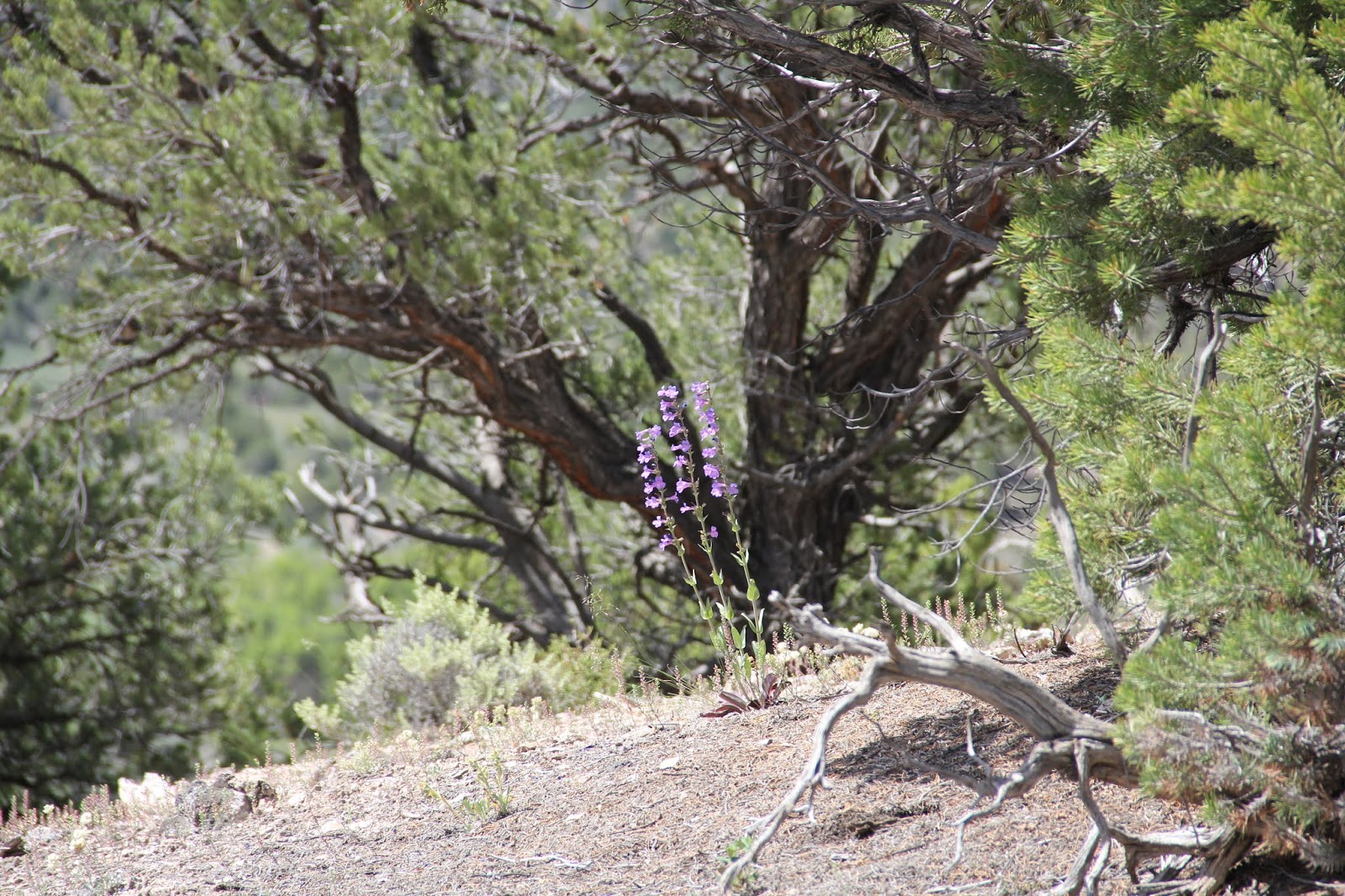
Ghost Rock Rest Stop. Looking northwestward towards the southern end of the Wasatch Mountains. The towns of Emery, Ferron, Castledale and others sit at the east base of this range in what is known as Castle Valley. The San Rafael Swell then extends eastward from these towns. The San Rafael River runs through this area. One summer the geography faculty canoed down this river and then the boys and I have camped at the Wedge Overlook that looks down from the north rim into the Little Grand Canyon carved by the San Rafael River. For images of our visit to he Wedge see this blog post: http://beitemmett.blogspot.com/2013/11/the-wedge.html


Got home in time to go watch the Art City Days fireworks show with Marie and Will.
Great stuff and pics, as always!
ReplyDelete